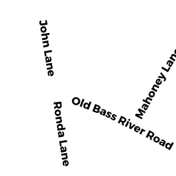
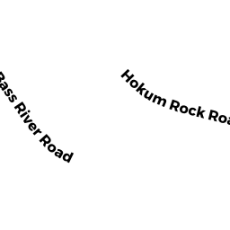
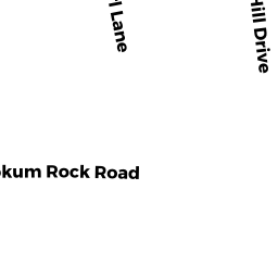
103 HOKUM ROCK ROAD DE
Owner Information
BOLTE THOMAS
13 PORTER PLAIN ROAD
THOMPSON, CT 06277


Property Details
103 HOKUM ROCK ROAD DE is classified as a Single Family Residential (Cape).
The primary structure on this property was built in 1985. There are 1,610ft2 of built area within this property. There is 1,610ft2 of residential/living space within this property. This property is listed as having 5 rooms.
103 HOKUM ROCK ROAD DE is valued at $445,100. The land is valued at $142,100 and the structures are valued at $293,400. There is an additional valuation of $9,600 on this property.
The most recent deed for 103 HOKUM ROCK ROAD DE is recorded at the local registrar in Book 30715, Page 55. 103 HOKUM ROCK ROAD DE was last sold on Tuesday, August 22, 2017 for $357,500.
Assessment data from fiscal year 2022.
Flood Data
According to the FEMA National Flood Hazard Layer, this property does not appear to be in a flood zone. It may also be in an area not yet reviewed. Nonetheless, confirm this information prior to taking any action.
To view the flood hazards around this property, create a FEMA "Firmette" Map of the area around 103 HOKUM ROCK ROAD DE.
Broadband Internet Providers
| Provider | Type | Bandwidth (mbps) | |
|---|---|---|---|
| VSAT Systems, LLC. | Satellite | 2 | 1 |
| T-Mobile | Fixed Wireless | 25 | 3 |
| Viasat Inc | Satellite | 35 | 3 |
| Verizon New England Inc. | DSL | 10 | 1 |
| Comcast | Cable | 1000 | 35 |
| GCI Communication Corp. | Satellite | 0 | 0 |
| HughesNet | Satellite | 25 | 3 |
Broadband service provider data from December 2020.